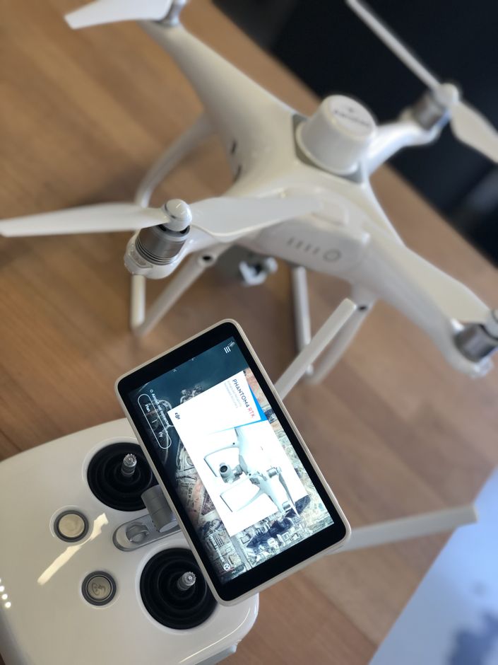
Drone Survey Mission Planning
The fundamentals of collecting reliably accurate data using drones for survey
This course is designed to provide you with a high level workflow that will lead to reliable data collection with your UAS survey program.
Your Instructor

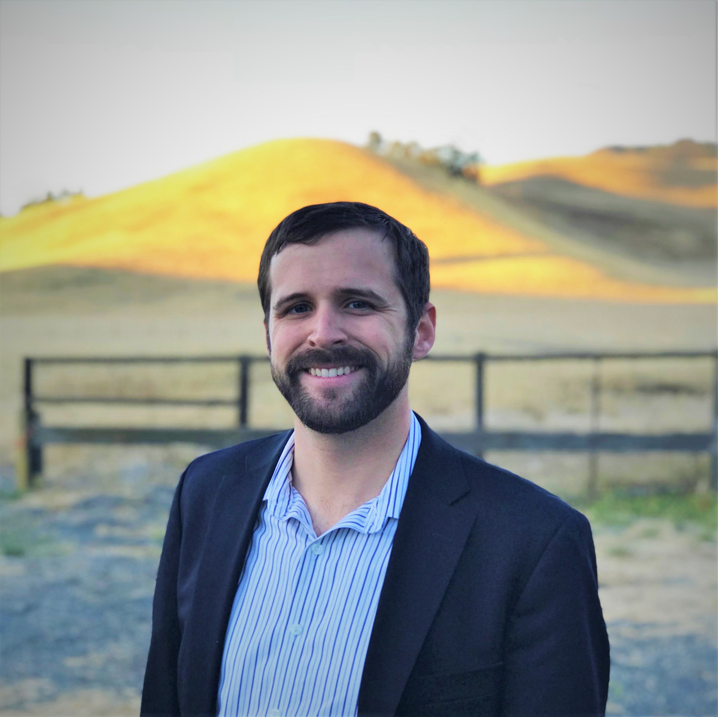
Logan Campbell is the President of Aerotas, and he is an ASPRS Certified UAS Mapping Scientist (certification UAS 002). Logan began his career as a statistician and went on to found Aerotas in 2014; Aerotas provides human-in-the-loop drone data processing for surveyors and freely shares guides, instructions, checklists, and best practices developed with hundreds of surveyors over thousands of drone survey projects. Logan holds an MBA from Harvard Business School and is a Certified Mapping Scientist by the American Society for Photogrammetry and Remote Sensing (ASPRS). As a recognized industry expert, he regularly speaks at survey and drone conferences, and regularly writes in various land surveying publications.
